Close
Shop All:Nystrom
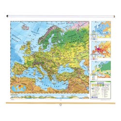
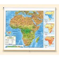
Nystrom Political Relief Continents Map, Set of 6
About This Item
Description
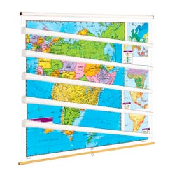
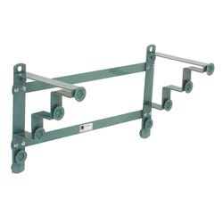
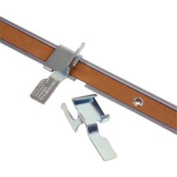
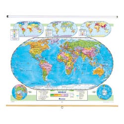
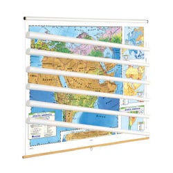
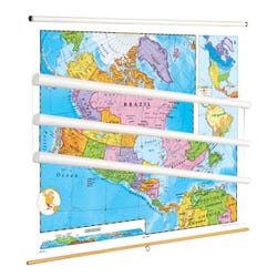
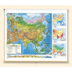
Nystrom Political Relief Continents Map set with 6 maps includes North America, South America, Europe, Asia, Africa, and Australia and Oceania maps measuring 65 in x 53 in. Maps are markable with water-soluble ink and come mounted on a single spring roller with backboard. Map rail (Nystrom Map Rail with Tan Cork Insert) and map hooks (Nystrom Hook for 1-Inch Map Rail) sold separately.Features
Contrasting colors make countries easy to see, while detailed shaded relief helps students understand how physical geography influences political geography. Maps also include country names, city names, and other important features.Includes: North America, South America, Europe, Asia, Africa, and Australia and Oceania maps
Specifications
Certifications:
Not Applicable
UPC:
048359118038
Allergens:
Contains No Allergens
 No Choking Hazard


